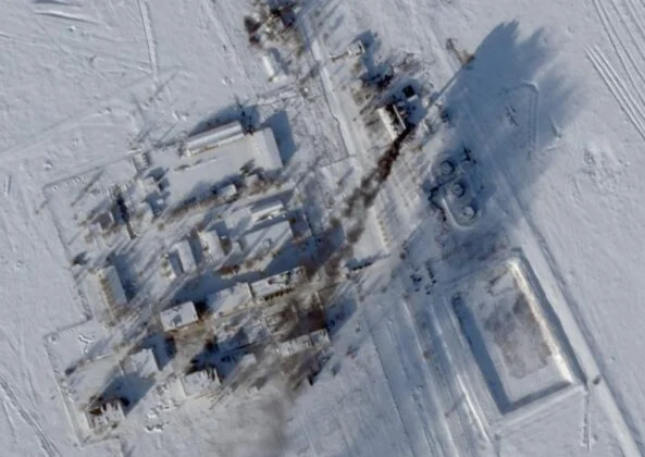
A U.S. missile analyst said satellite imagery shows no damage at Russia’s Kapustin Yar site, rejecting claims that a Ukrainian FP-5 Flamingo cruise missile carried out a successful long-range strike on the facility.
An independent U.S. analyst has dismissed claims that Ukrainian long-range missiles struck Russia’s Kapustin Yar missile test range, stating that satellite imagery cited as evidence shows no visible damage to the facility.
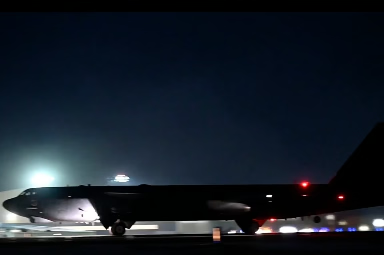
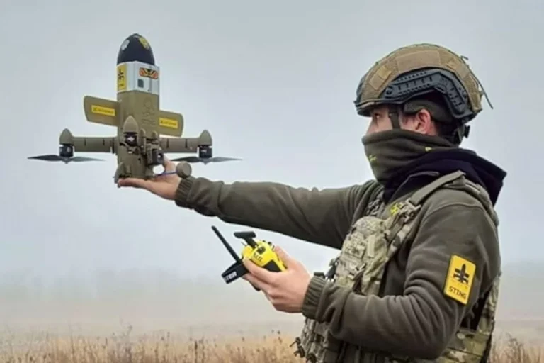
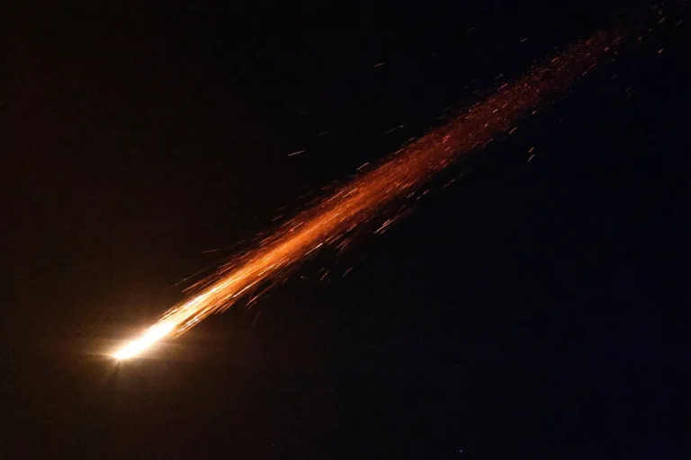
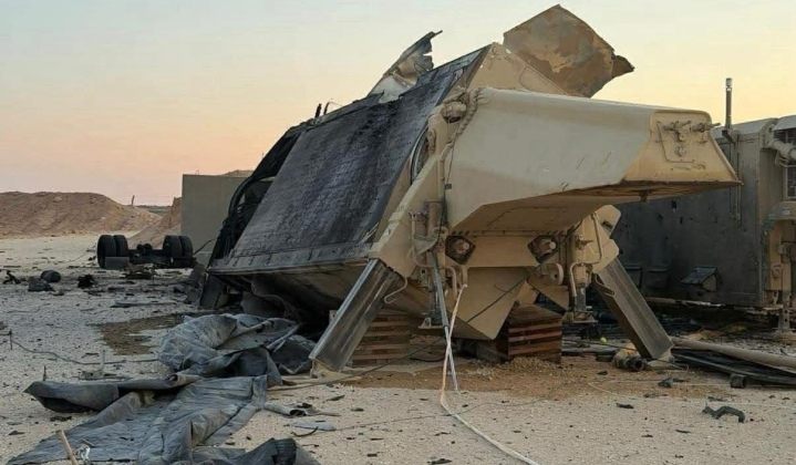
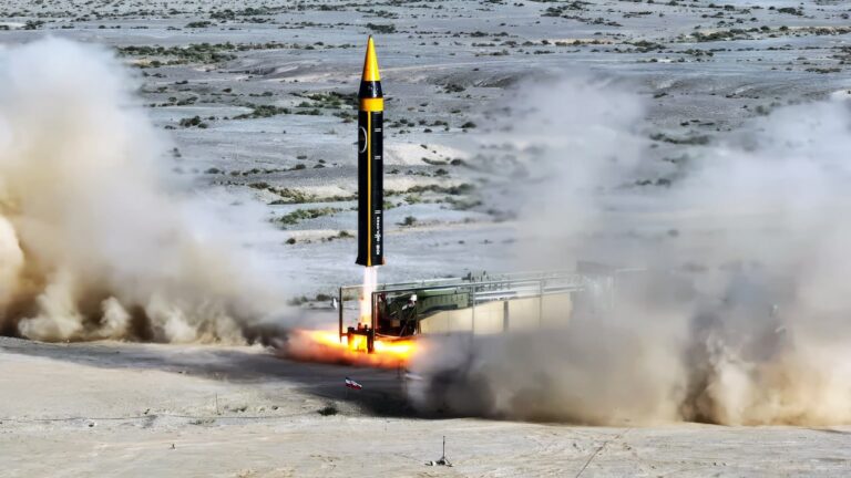
The reaction comes after Ukrainian and regional defense outlets reported that Ukraine’s domestically developed FP-5 “Flamingo” cruise missile had been used in an attack on infrastructure at Kapustin Yar in Russia’s Astrakhan region. The site is known for missile testing and is linked to the development and launch activities of Russia’s Oreshnik missile system.
Decker Eveleth, a researcher specializing in satellite imagery and missile forces, said the images circulating online were misinterpreted and did not indicate any strike damage. According to him, what some observers described as impact evidence was actually smoke from a power plant operating normally at the facility.
In a public assessment, Eveleth stated that higher-resolution satellite images captured days after the alleged strike show no structural damage to buildings or infrastructure at Kapustin Yar. The images, he noted, contradict claims that Ukrainian missiles successfully hit hangars or preparation areas connected to missile operations.
Kapustin Yar remains one of Russia’s key missile testing and evaluation sites and has historically supported ballistic and cruise missile programs. It has also been referenced in open-source reporting related to advanced missile systems, including the Oreshnik program.
Reports of possible Ukrainian strikes on such facilities have drawn significant attention from defense analysts due to their potential implications for escalation risks and the resilience of Russia’s strategic infrastructure. However, confirming damage at heavily protected or remote military sites remains challenging, and satellite imagery continues to play a critical role in verifying or disputing such claims.